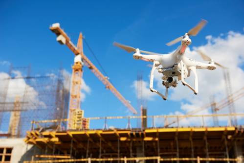
More companies are investing in real estate drone photography and technology, and for good reason! Here are some of the ways drones are helping the construction and development industries.
Using Drones and Software for Better Surveying
When you combine drone imaging with modern mapping software, you can conduct surveys more efficiently and effectively than ever before. Here are some of the drone technologies you can employ during the surveying phase of real estate development:
- Automated Mapping—With automated mapping, the drone flies over the property and takes pictures in high-resolution and infrared. As it does this, it transmits information to a mapping software, which layers and creates a highly-precise map.
- Lidar Mapping—Different from automated mapping, lidar mapping uses a laser to precisely measure distances and orientations. The laser can also work to create extremely detailed, accurate representations of a property’s topography, buildings, and objects.
- Volumetric Calculations with Drones—When paired with the right software, drones can help construction companies measure their stockpiles and waste. First, a digital surface model is created. Then, as the drone flies overhead, it can scan stockpiles, spoil heaps, and material extraction sites very quickly to determine measurements.
- Cadastral Surveying—Drones can help real estate developers, appraisers, and construction companies by helping to define the boundaries of properties for sale, subdivide properties accurately, and much more. Cadastral surveying is much faster, easier, and safer when completed by drones.
With relatively low maintenance costs, the ability to deploy any time (instead of waiting for a surveying team to come onsite) and a wide variety of high-tech survey tools, drones are the ideal choice when it comes to mapping and surveying. Not to mention, these drone technologies offer more accurate measurements than any other technology available. With improved accuracy come cost savings and better-quality services.
Improved Safety for Workers
Worksite hazards are a big issue in construction. Since the beginning of the industry, people have had to put themselves in harm’s way to investigate roofs for damage, assess building envelopes, and more. But when a construction company uses drones, workers will won’t have to scale tall buildings, traverse steep roofs, or cross rough terrain as often as they had to in the past.
Improved Communication
When you can keep better tabs on a real estate development or construction project, you can offer better communication to all stakeholders. Your project can go more smoothly, decision-makers can make better choices, and you can easily answer questions about measurements, estimates, site inspection results, and more. You can even use software to share maps between team members and other stakeholders, keeping everyone informed of progress.
Time Savings
If you are in the construction or real estate development industry, you know the effects of being behind schedule. Not only does it cause a significant headache and increased costs, but it’s a problem that is far too common across the industry. But drones can help. It’s easier and faster to take aerial images with a drone rather than waiting for the appropriate professional to come onsite and conduct inspections, count volumetric measuring, or complete mapping.


