
Hey, I’m Michael!
About Me
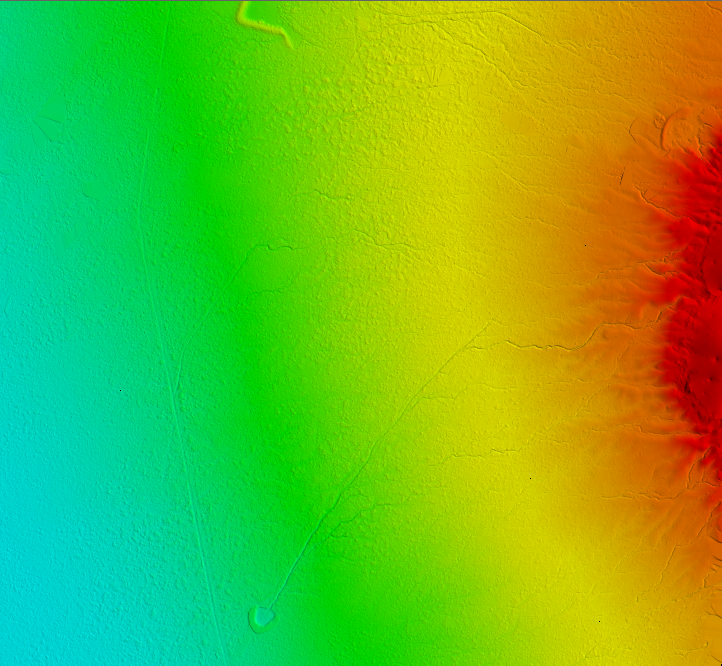
Osprey Geospatial Solutions specializes in integrating emerging unmanned aerial system (UAS) technologies with global positioning system (GPS) and geographical information system (GIS) technologies in order to provide top of the line solutions that help our clients succeed. Using both both quad-copter and fixed wing UAS platforms with a variety of payloads (i.e. sensors), Osprey Geospatial strives to maximize our clients’ efficiency while preserving their resources and maintaining optimal data security. These highly efficient UAS platforms, along with our GPS systems, and GIS capabilities and advanced industry knowledge, allow Osprey Geospatial the ability to deliver a variety of solutions to meet your geospatial, geomatic, and mapping needs.
Listing
$2000.00
Service Listing
Osprey Geospatial Solutions
sensefly eBee Plus
06:00 am - 06:00 pm
$75.00
Service Listing
Osprey Geospatial Solutions
DJI Phantom 3 Advanced
06:00 am - 06:00 pm
$2000.00
Service Listing
Osprey Geospatial Solutions
sensefly eBee Plus
06:00 am - 06:00 pm
Videos