


Aerial Roof Inspection Service
DJI Mini 4 Pro
Provided by Right Light Real Estate Photography (and Falconer Aerial Imagery & GIS Services
Videos

About the Service
Do you have a tall home that no roof inspector will get on top of for any agreeable price for just a surface lookover / preliminary inspection? Falconer can take care of your basic roof inspection needs. We can spot cracked and cupping or clawing tiles, bald spots on them (loss of sand granules that protect the tar and decking), flashing separation, compromised sealant, moss and lichen, uneven/warped rooflines, degraded vent boots, and large hail dents. Hire us today!
About the Drone
My DJI Mini Pro 4 has many photo and video media capture modes and abilities, and is small enough to not pose a danger when passage through tight spaces is required for the job. It can run continuously for 35 minutes at a time without need for battery replacement, when little to no wind is present. It can be flown manually or autonomously, depending on client needs and time limits of the job at hand.
Experience

Real Estate
Cinematography
Pricing
Price
$100.00
Cancellation
Flexible
Weekly Discount
20%
Monthly Discount
30%
About the Provider
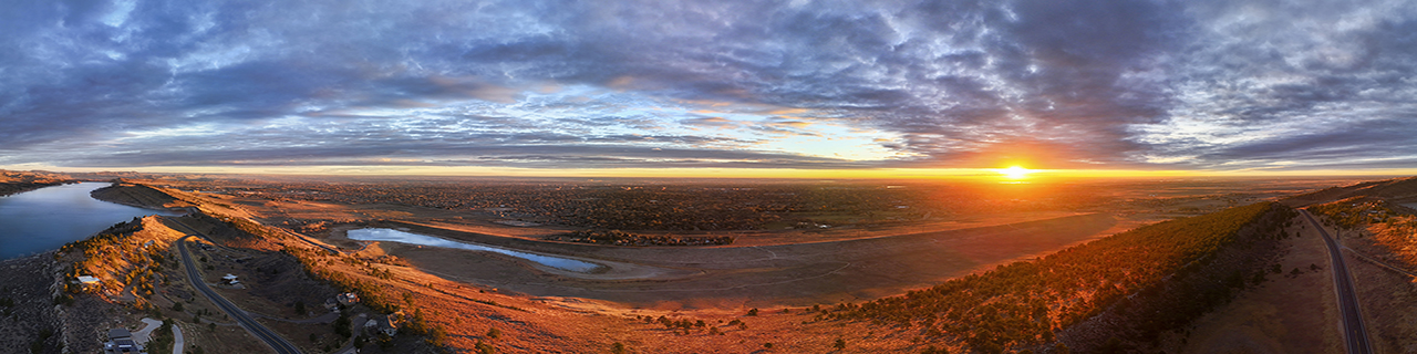
I represent both Right Light Real Estate Photography Ltd., and its subsidiary Falconer Aerial Imagery and GIS Services, both based in Fort Collins, CO, and serving all of Larimer County. I provide for most all sectors except construction, professional cinematography, and survey that requires state licensing (though I can do various kinds of inspections and run transects to collect data). I am a professional photographer of 15 years, with 30+ years in the art generally, and I provide high quality media for Larimer County Department of Natural Resources and the City of Fort Collins. I served 18 months as a Bureau of Land Management archaeologist, at one time running R&D on a special aerial photogrammetry-recorded Section 110 project on Native American sacred sites. I am a certified FAA Part 107 UAS pilot as of 2025, and I am insured up to $1,000,000. I trained extensively on many drones using the advanced "Liftoff" flight simulator, honing my technical control, videographic expertise, obstacle navigation and avoidance, stylized automated flights, and more, before taking to the skies. I began using a DJI Mini Pro 4 in 2025 for professional and adventure outing purposes. My current flight hours estimated at 30 reflects all of this action time. I have recently been working with Visit Fort Collins to provide quality aerial media of the city and surrounding open spaces. And, my 7 years of GIS experience with the federal government has made me an expert on federal and local laws regarding drone fly zones and property protections. See my drone imagery portfolio @ www.flickr.com/photos/kairologic/albums/72177720329574492/.
Verification
Email Address
Phone Number
FAA Drone Registration
FAA Remote Pilot Certification
Location