
Experienced pilot with over 15K acres surveyed and processed
DJI Matrice 210 Series V2 RTK
Provided by Aqua Irrigation Technologies
About the Service
Specializing in area surveying mapping and processing. Post processing for photos, videos, site mapping, topos mapping, DTM/DEM mapping and all photogrammetry outputs.
About the Drone
DJI Matrice 300 RTK with P1 35mm payload.
Experience
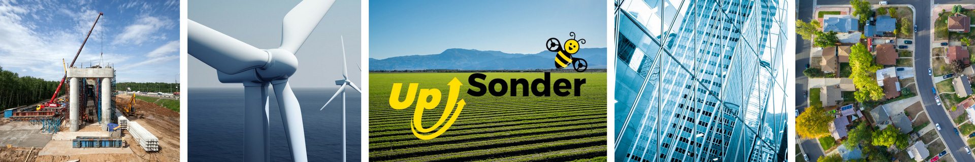
Construction
Agriculture
Real Estate
Pipelines
Pricing
Price
$185.00
Cancellation
Flexible
Weekly Discount
20%
Monthly Discount
30%
About the Provider
I am a certified and licensed FAA UAS pilot. I specialize in all aspect of drone surveying, mapping and photogrammetry.
Verification
Email Address
Phone Number
FAA Drone Registration
FAA Remote Pilot Certification
Location