Falcon Aerial Services
DJI Mavic 2 Pro
Provided by Falcon Aerial Services
About the Service
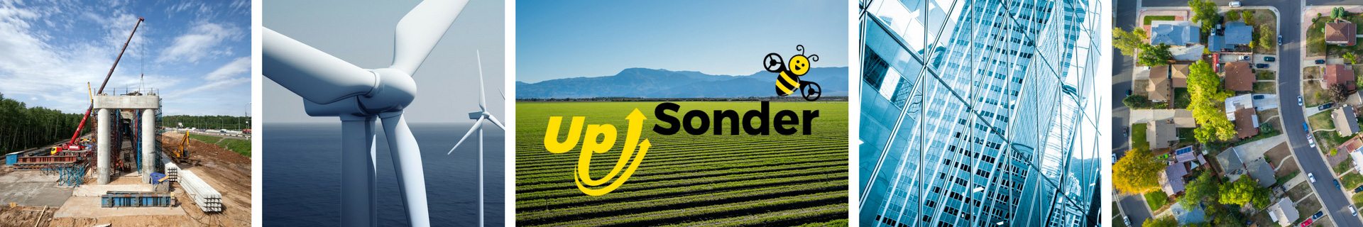
We provide services for aerial photography/videography projects, mapping and surveying. We can provide edited or unedited photos and video, and mapping projects in the file format of your choice. For mapping jobs, we can provide 2D/3D, elevation, roof reports and stockpile reports. For agricultural reports, we can provide RGB or VARI.
About the Drone
Our fleet consists of a DJI Mavic 2 Pro and DJI Mavic Air 2.
Experience
Construction
Agriculture
Insurance Claims
Real Estate
Drone Features
Pricing
Price
$100.00
Cancellation
Flexible
Weekly Discount
20%
Monthly Discount
25%
Location