Aerial Recon Specialist
DJI Phantom 3 Professional
Provided by Jonathan
About the Service
Greetings! I am a licensed geologist with a background in GIS, search and rescue, and natural hazard studies. Using UASs allows me to capture scientific data at a much higher rate than compared to traditional manned or satellite remote sensing data. My passion for mapping and aerial reconnaissance is certainly a benefit to my customers, who themselves become enthusiastic about the technology and the project. Having a scientific background allows me to apply a stronger critical thought process to proposed challenges, of which I thoroughly enjoy trying to solve.
When it comes to UAS applications, my expertise ranges from simple aerial photos for real estate and construction progress, to complex mapping of project sites. My favorite application is certainly mapping sites and producing 3D structure and terrain models. This new photogrammetry technology is shaping the way surveys are produced, structural designs are created and, in general, how data is displayed. All 3D models are scalable with a highly reasonable accuracy.
My mission is to provide quality customer service to you. It doesn't matter if its for a few shots to sell real estate, or an advanced call for emergency services. Feel free to contact me at any time to discuss your project demands.
About the Drone
I currently operate with a Phantom 3 Pro (personally owned), with access to other DJI-manufactured aircraft at my disposal. Each aircraft has its own pros and cons, so contact me to discuss so that I can use the right tool for the job.
Experience
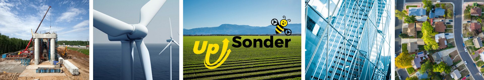
Construction
Agriculture
Insurance Claims
Police
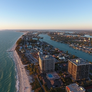
Real Estate
Utilities
Pipelines
Mining
Clean Energy
Drone Features
Camera
Still Camera Resolution:
12.0 megapixels
Built-in Camera:
Yes
Camera Control Range:
-90 to +30 °
View All
Controller
Control Type:
2000.0 meters
Mobile Device Holder:
Smartphone
Control Type:
Remote Control + Phone/Tablet
Live View:
Yes
View All
Drone
Weight:
1280.0 grams
Maximum Flying Time:
23.0 minutes
Maximum Flying Speed:
16.0 m/s
Maximum Flying Altitude:
6000 meters
View All
Extras
SD Card Types:
Micro SD
Pricing
Price
$200.00
Cancellation
Regular
Weekly Discount
20%
Monthly Discount
30%
About the Provider
Greetings! I am a licensed geologist with a background in GIS, search and rescue, and natural hazard studies. Using UASs allows me to capture scientific data at a much higher rate than compared to traditional manned or satellite remote sensing data. My passion for mapping and aerial reconnaissance is certainly a benefit to my customers, who themselves become enthusiastic about the technology and the project. Having a scientific background allows me to apply a stronger critical thought process to proposed challenges, of which I thoroughly enjoy trying to solve.
When it comes to UAS applications, my expertise ranges from simple aerial photos for real estate and construction progress, to complex mapping of project sites. My favorite application is certainly mapping sites and producing 3D structure and terrain models. This new photogrammetry technology is shaping the way surveys are produced, structural designs are created and, in general, how data is displayed. All 3D models are scalable with a highly reasonable accuracy.
My mission is to provide quality customer service to you. It doesn't matter if its for a few shots to sell real estate, or an advanced call for emergency services. Feel free to contact me at any time to discuss your project demands.
Verification
Email Address
Phone Number
FAA Drone Registration
FAA Remote Pilot Certification
Location