
I am a professional UAS pilot and photographer. I am a US Army Veteran, and I currently work as a Police Sergeant for Westchester County (NY) Police Department with 20 years of dedicated service.
DJI Phantom 4 Pro v2.0
Provided by SkyeTech Aerial LLC
Videos
About the Service
With 2+ years of flight experience. I currently fly an Autel Evo 2 Pro 6K, a DJI Phantom 4 Pro 2.0, and a DJI Mavic Air and love to use it for professional photography, videography, construction documentation, and inspection work. With my knowledge of powerful software such as DroneDeploy, Litchi, and DroneLink, I am able to create 2D maps that show elevation, plant health, and overall area information. This software also allows me to create high-resolution 3D models. Using advanced drone and camera technology I am able to provide high-quality site surveys, roof, and infrastructure inspections in a safe and efficient manner.
Drone Models Supported:
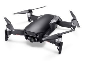 DJI Mavic Air
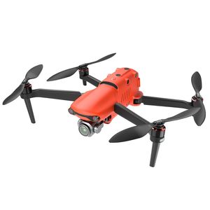 Autel Evo II Pro
About the Drone
I currently fly an Autel Evo 2 Pro 6K, a DJI Phantom 4 Pro 2.0, and a DJI Mavic Air.
Experience
Construction
Police
Real Estate
Utilities
Cinematography
Pricing
Price
$125.00
Cancellation
Regular
Weekly Discount
0%
Monthly Discount
0%
About the Provider
With 5+ years of flight experience. I currently fly an Autel Evo 2 Pro 6K, a DJI Phantom 4 Pro 2.0, a DJI Mavic 3 Pro and Thermal. I love to use it for professional photography, videography, construction documentation, and inspection work. With my knowledge of powerful software such as DroneDeploy, Litchi, and DroneLink, I am able to create 2D maps that show elevation, plant health, and overall area information. This software also allows me to create high-resolution 3D models. Using advanced drone and camera technology I am able to provide high-quality site surveys, roof, and infrastructure inspections in a safe and efficient manner.
Verification
Email Address
Phone Number
FAA Drone Registration
FAA Remote Pilot Certification
Location