
Remote Sensing
sensefly eBee Plus
Provided by Spatial Informatics Group
Videos
About the Service
A picture is worth a thousand words, but it helps to have a current picture for your planning need. That is why SIG offers a full range of remote sensing and geospatial analysis services that are integrated with updated imagery generated from our unmanned aircraft system (UAS).
OUR FAA CERTIFIED TEAM HAS COMPLETED OVER 400 MISSIONS
-Feature location and extraction (roads, trees, buildings, powerlines, and streams)
-Natural resources and agriculture field mapping and monitoring
-Tree mortality mapping
-Humanitarian needs, including flood hazard and impact
-Assessment and on-demand natural disaster Imagery and assessments
-Cost-effective performance monitoring of forest and wetland restoration projects
-Invasive species mapping and monitoring
-Construction site compliance monitoring for Best Management Practice (BMP) for runoff, vegetation retention, and management of fill storage
-Volumetric calculations of construction fill and Excavation
Drone Models Supported:
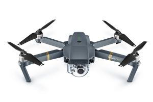 DJI Mavic Pro
About the Drone
Both of our systems are capable of creating orthoimages as well as digital surface models. The Sensefly eBee Plus is more suited for larger areas as it can fly for a longer period of time on one battery. The DJI Mavic Pro handles smaller projects with ease especially if there are limitations on operating areas.
Experience
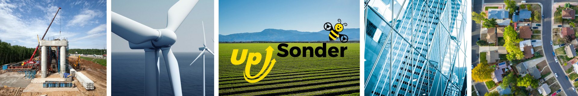
Construction
Agriculture
Utilities
Mining
Clean Energy
Pricing
Price
$125.00
Cancellation
Regular
Weekly Discount
10%
Monthly Discount
10%
About the Provider
A picture is worth a thousand words, but it helps to have a current picture for your planning need. That is why SIG offers a full range of remote sensing and geospatial analysis services that are integrated with updated imagery generated from our unmanned aircraft system (UAS).
OUR FAA CERTIFIED TEAM HAS COMPLETED OVER 400 MISSIONS
-Feature location and extraction (roads, trees, buildings, powerlines, and streams)
-Natural resources and agriculture field mapping and monitoring
-Tree mortality mapping
-Humanitarian needs, including flood hazard and impact
-Assessment and on-demand natural disaster Imagery and assessments
-Cost-effective performance monitoring of forest and wetland restoration projects
-Invasive species mapping and monitoring
-Construction site compliance monitoring for Best Management Practice (BMP) for runoff, vegetation retention, and management of fill storage
-Volumetric calculations of construction fill and Excavation
Verification
Email Address
Phone Number
FAA Drone Registration
FAA Remote Pilot Certification
Location